
Col de la Croix-de-Fer — Pass for Motorcyclists
Motorcycle Route Photos: Col de la Croix-de-Fer

Map – Col de la Croix-de-Fer Motorcycle Route
Description
Col de la Croix-de-Fer – Pass Motorcycle Route Description
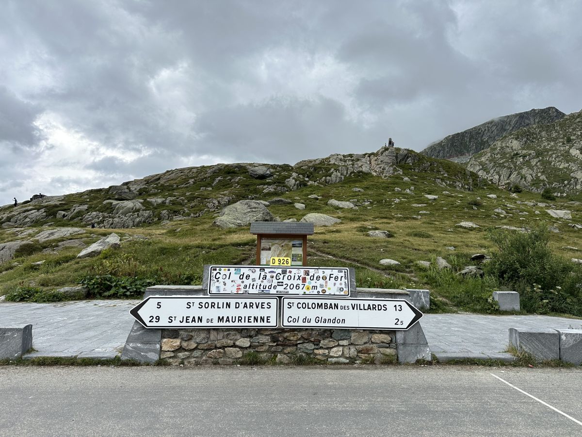
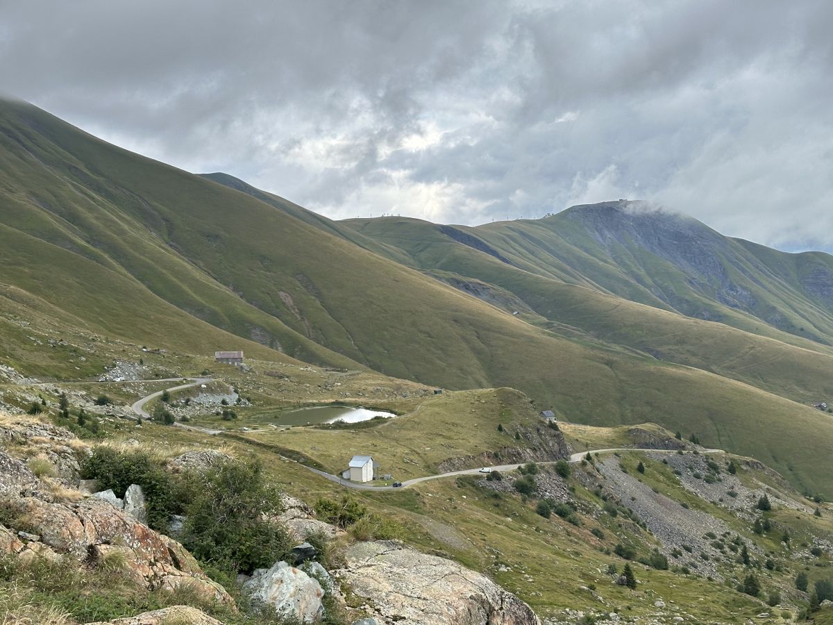
Valico alpino a 2.067 m s.l.m., simbolo delle tappe ciclistiche più dure. Per i motociclisti rappresenta un'avventura tra paesaggi lunari e boschi alpini, con tornanti che si susseguono in un percorso di grande suggestione.
Other Passes & Roads nearby
Loading nearby POIs...
No nearby POIs found.
Plan Your Motorcycle Route with MotoPlanner

Build your perfect motorcycle trip with the best route planner for riders. Discover mountain passes, scenic roads and export GPX files.
- Advanced motorcycle route & itinerary planning
- Database of mountain passes & scenic roads for motorcyclists
- GPX export, motorcycle roadbook & much more
Comments
Leave a review for this motorcycle route